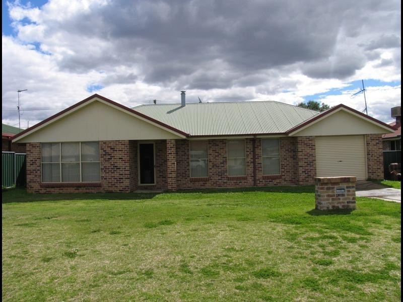
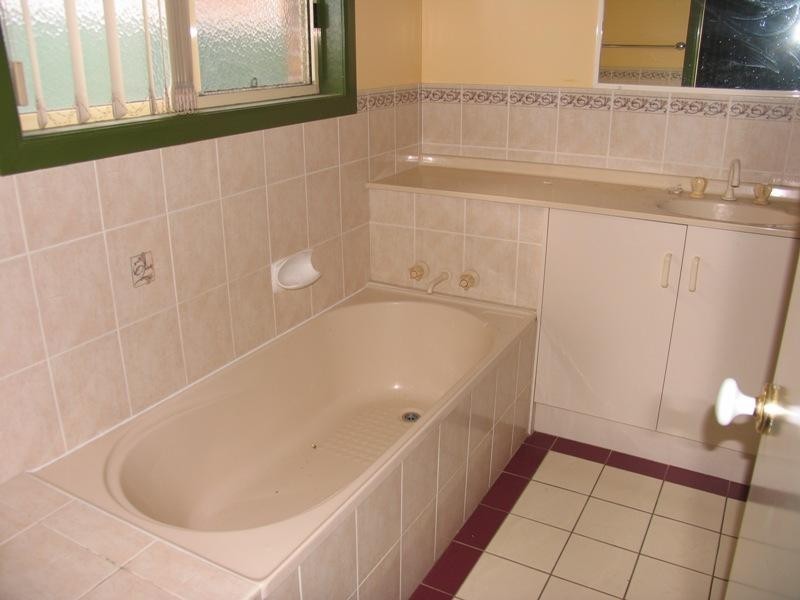
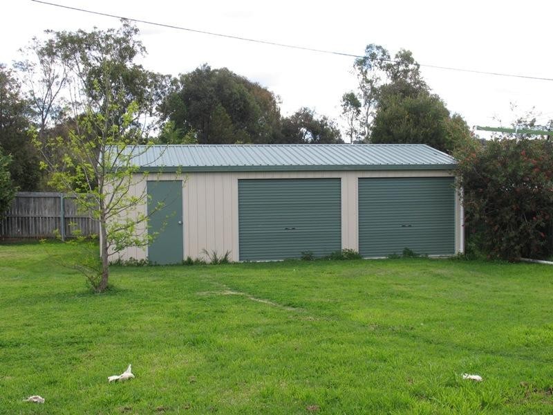
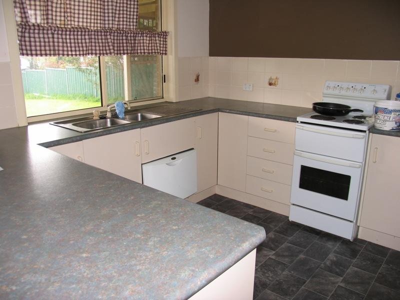
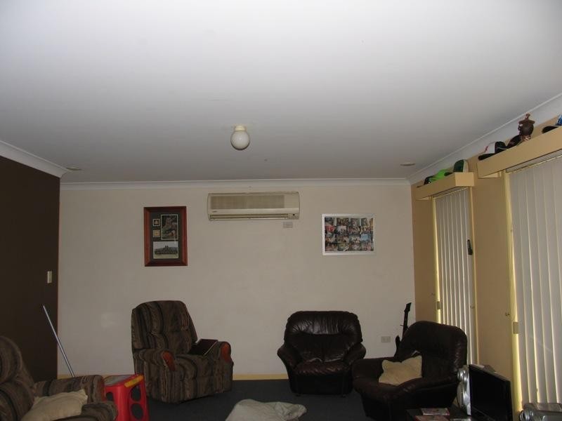
There are approximately 17,238 people living in Warwick but… who are they?
40
48%
52%
Suburb Stats
$884/WK
$215/WK
$325/WK
Value of property in Warwick and nearby suburbs
Warwick
Pilton
Gleneagle
Murgon
Average Home Price$314,784Average Rental Price$252Household Size2.5
Average Home Price$275,000Average Rental Price$0Household Size2.4
Average Home Price$435,252Average Rental Price$355Household Size2.8
Average Home Price$222,100Average Rental Price$207Household Size2.8
Water Useper year per person
0.62mln. litres
State Average 0.68 mln. litres
Nat. Average 0.74 mln. litres
Greenhouse Pollutionper year per person
17.3tonnes
State Average 18.38 tonnes
Nat. Average 20.3 tonnes
Dwelling Types
91%
6%
2%
Most Common Suburb Professions
16% Labourers…
14% Technicia…
13% Managers…
12% Clerical…
Nearby shopping: rose city shopping world centre management, village shopping centre
Nearby schools: australian college of phytotherapy pty ltd, warwick state high school, a country garden early childhood centres, agnew school
Nearby cafes: the cherry tree coffee & dining, brysons place, char-belas restaurant
Nearby doctors: doolan d, condamine medical centre - dr evan ackermann, granite belt dental, timothy williams dr
Nearby hospitals: southern downs district health services, condamine medical centre
Nearby cinemas: warwick twin cinema
Nearby pharmacies: john duggan amcal chemist, warwick friendly society pharmacy, warwick friendly society pharmacies, discount drug store
Nearby police stations: warwick police station
Nearby parks: tullock park, australiana park, kahlers oasis caravan park, hamilton oval
Nearby restaurants: warwick rsl services & citizens memorial club, domino's pizza warwick, mussel's restaurant, red rooster warwick rose city foodcourt