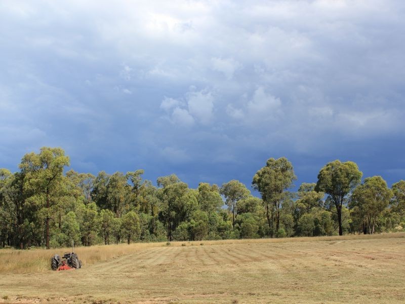
There are approximately 17,238 people living in Warwick but… who are they?
40
48%
52%
Suburb Stats
$884/WK
$215/WK
$325/WK
Value of property in Warwick and nearby suburbs
Warwick
Stockleigh
Proston
Veresdale
Average Home Price$314,784Average Rental Price$252Household Size2.5
Average Home Price$567,645Average Rental Price$422Household Size3.2
Average Home Price$138,375Average Rental Price$198Household Size2
Average Home Price$521,500Average Rental Price$403Household Size2.8
Water Useper year per person
0.62mln. litres
State Average 0.68 mln. litres
Nat. Average 0.74 mln. litres
Greenhouse Pollutionper year per person
17.3tonnes
State Average 18.38 tonnes
Nat. Average 20.3 tonnes
Dwelling Types
91%
6%
2%
Most Common Suburb Professions
16% Labourers…
14% Technicia…
13% Managers…
12% Clerical…
Nearby shopping: rose city shopping world centre management, village shopping centre
Nearby schools: warwick community kindergarten, glennie heights state school, glennie heights preschool, warwick central school
Nearby cafes: brysons place, char-belas restaurant, the cherry tree coffee & dining
Nearby doctors: condamine medical centre - dr evan ackermann, doolan d, condamine medical centre - dr john kiss, condamine medical centre - dr louise clarke
Nearby hospitals: southern downs district health services, condamine medical centre
Nearby cinemas: warwick twin cinema
Nearby pharmacies: warwick friendly society pharmacy, warwick friendly society pharmacies, discount drug store, john duggan amcal chemist
Nearby police stations: warwick police station
Nearby parks: warwick bowling club inc, kahlers oasis caravan park, australiana park, leslie park
Nearby restaurants: mussel's restaurant, eagle boys pizza, kfc warwick, red rooster warwick rose city foodcourt