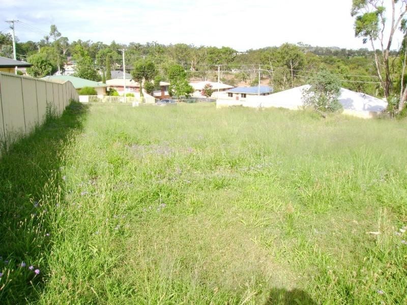
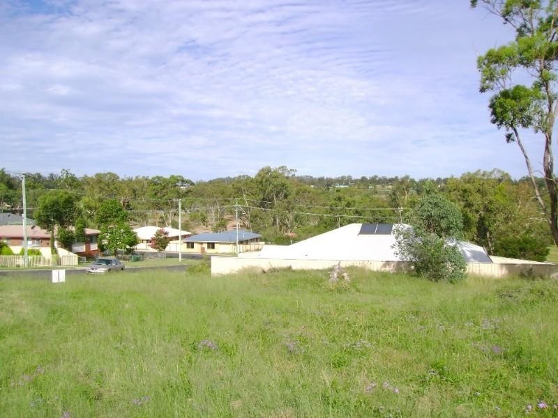
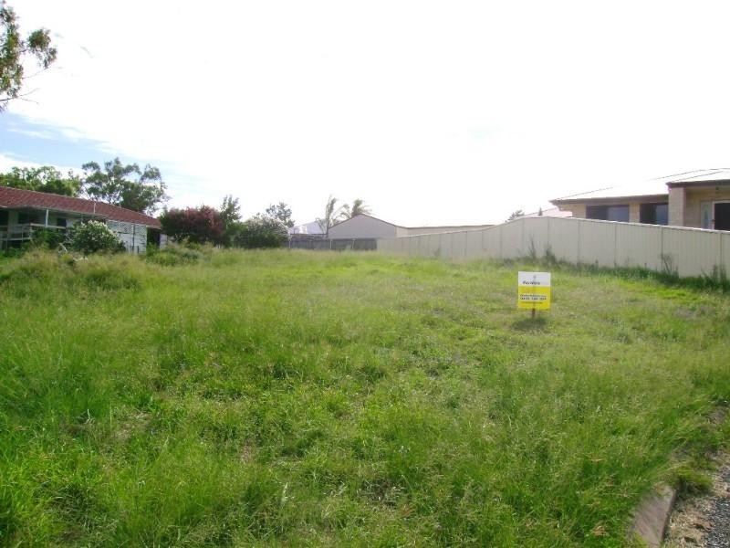
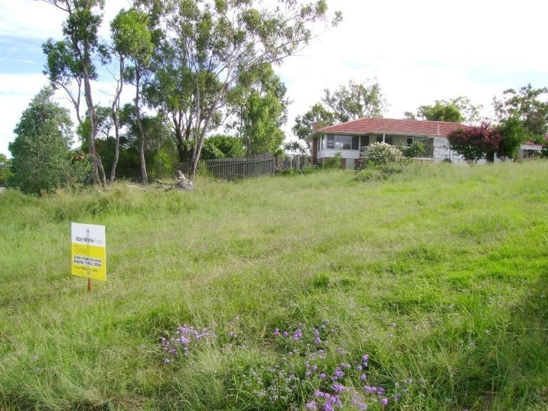
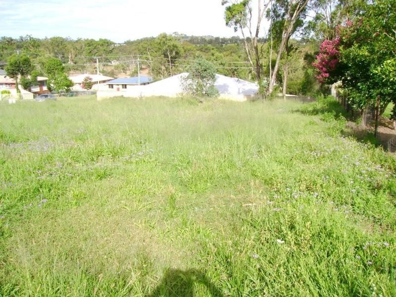
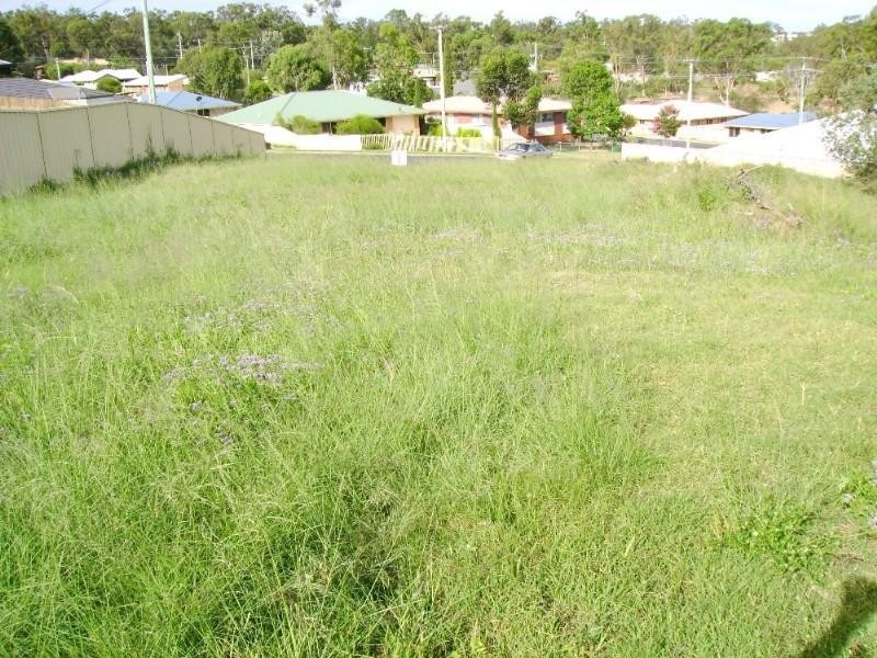
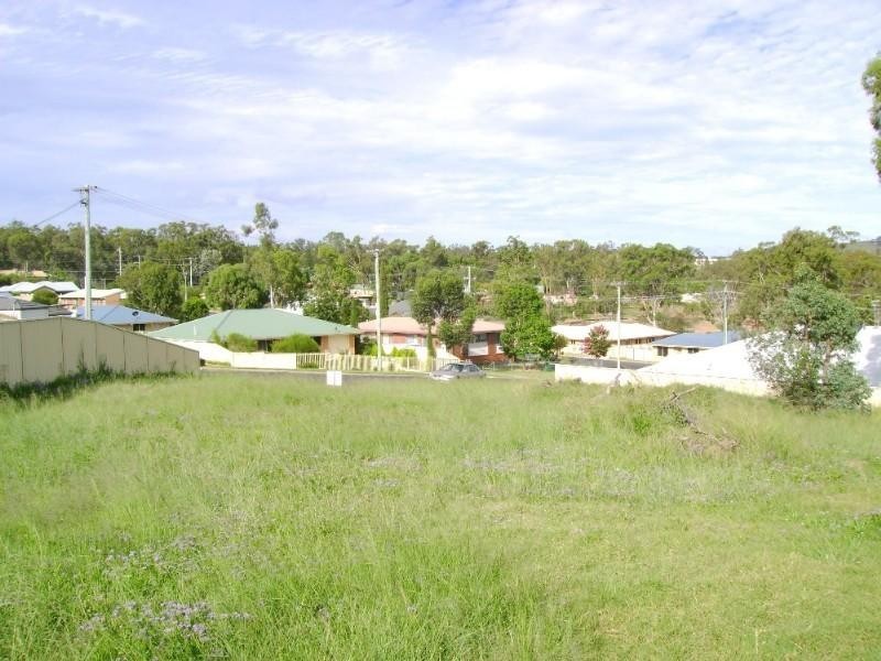
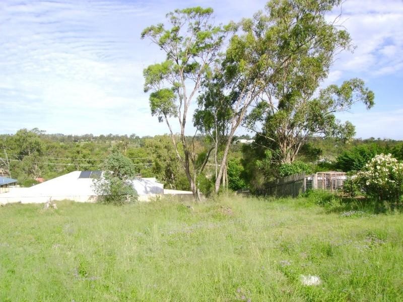
There are approximately 17,238 people living in Warwick but… who are they?
40
48%
52%
Suburb Stats
$884/WK
$215/WK
$325/WK
Value of property in Warwick and nearby suburbs
Warwick
Berat
Upper Yarraman
St George
Average Home Price$314,784Average Rental Price$252Household Size2.5
Average Home Price$0Average Rental Price$0Household Size2.5
Average Home Price$255,000Average Rental Price$239Household Size2.3
Average Home Price$313,692Average Rental Price$312Household Size2.7
Water Useper year per person
0.62mln. litres
State Average 0.68 mln. litres
Nat. Average 0.74 mln. litres
Greenhouse Pollutionper year per person
17.3tonnes
State Average 18.38 tonnes
Nat. Average 20.3 tonnes
Dwelling Types
91%
6%
2%
Most Common Suburb Professions
16% Labourers…
14% Technicia…
13% Managers…
12% Clerical…
Nearby shopping: village shopping centre, rose city shopping world centre management
Nearby schools: agnew school, glennie heights state school, warwick central school, warwick community kindergarten
Nearby cafes: brysons place, the cherry tree coffee & dining, char-belas restaurant
Nearby doctors: condamine medical centre - dr ross hetherington, doolan d, queensland vascular: dr toby cohen, condamine medical centre - dr aleta slattery
Nearby hospitals: southern downs district health services, condamine medical centre
Nearby cinemas: warwick twin cinema
Nearby pharmacies: discount drug store, warwick friendly society pharmacies, john duggan amcal chemist, warwick friendly society pharmacy
Nearby police stations: warwick police station
Nearby parks: kahlers oasis caravan park, tullock park, warwick bowling club inc, australiana park
Nearby restaurants: mango camping, hungry jack's warwrick, shalimar indian restaurant, red rooster warwick rose city foodcourt