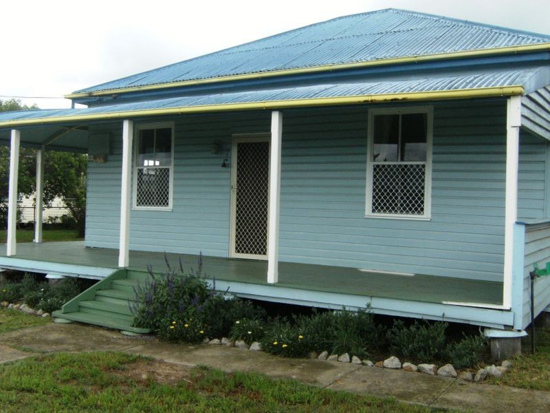
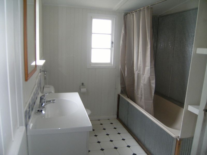
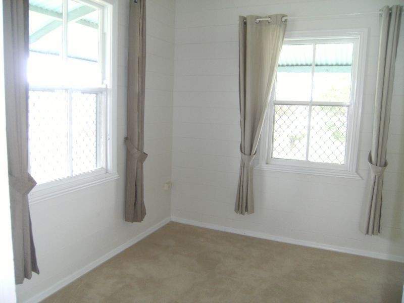
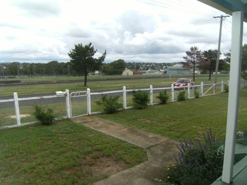
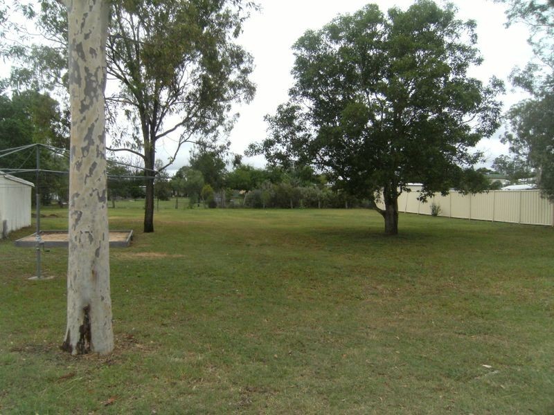
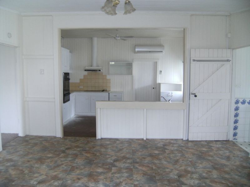
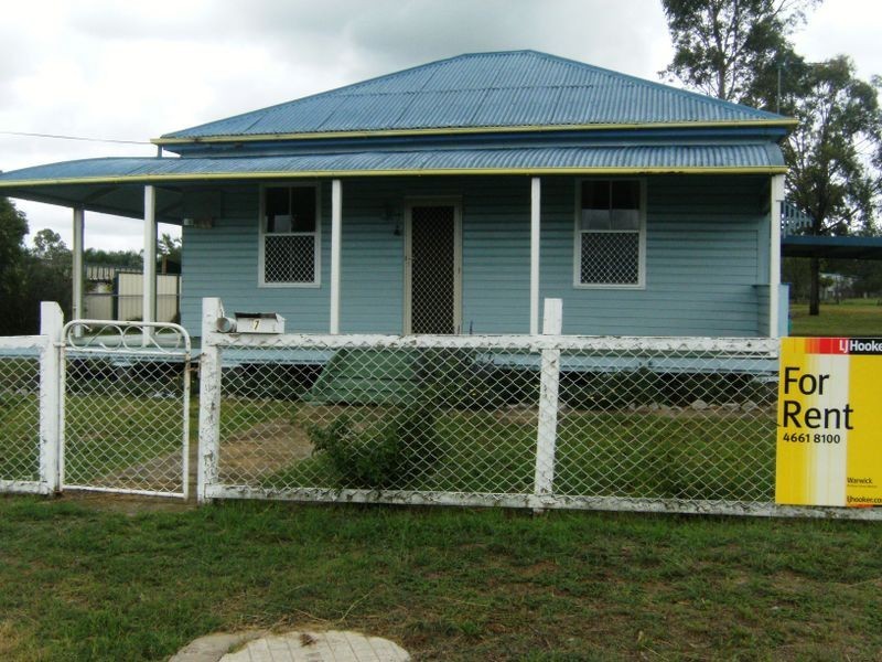
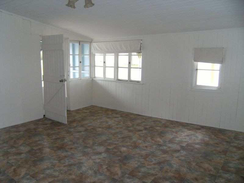
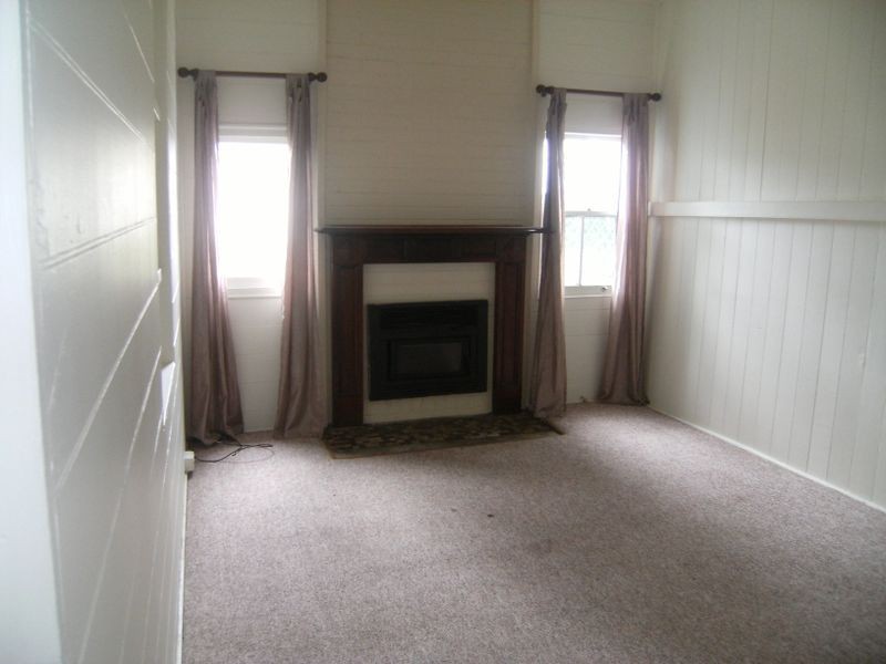
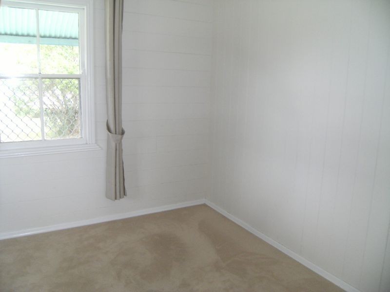
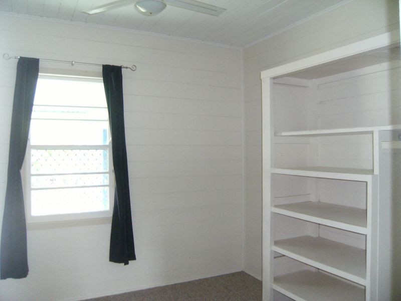
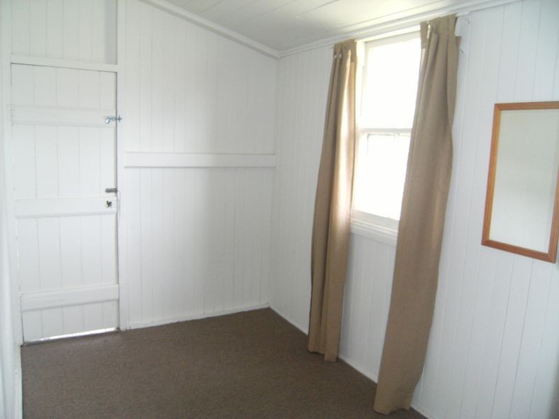
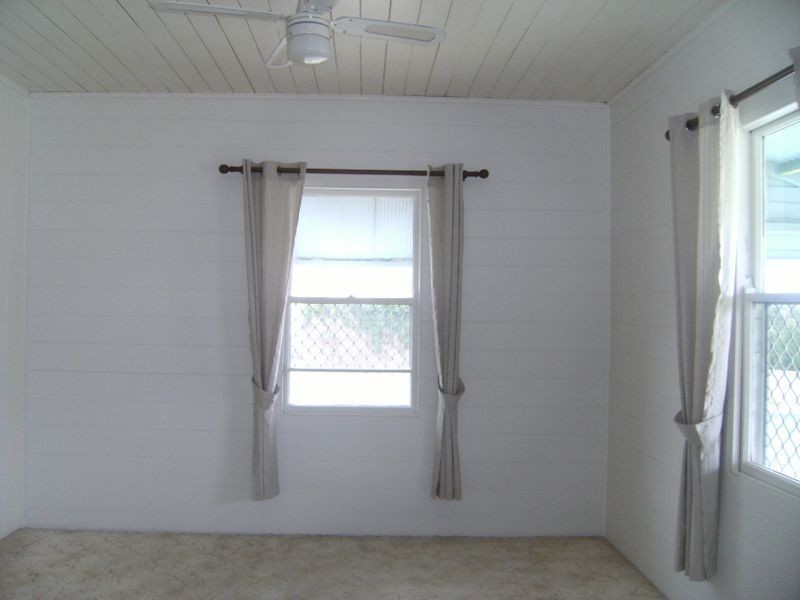
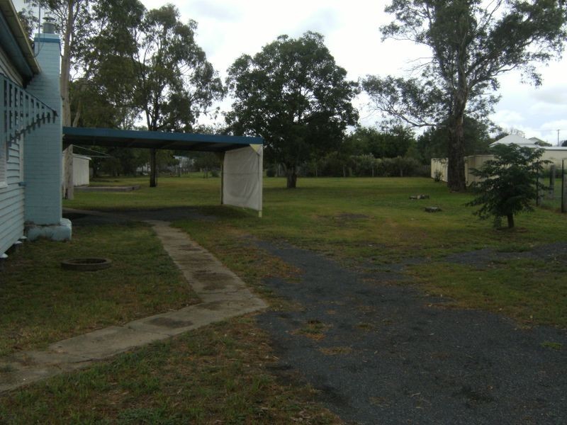
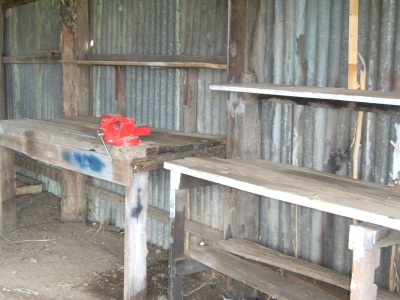
There are approximately 17,238 people living in Warwick but… who are they?
40
48%
52%
Suburb Stats
$884/WK
$215/WK
$325/WK
Value of property in Warwick and nearby suburbs
Warwick
Stanthorpe
Cedar Vale
Wondai
Average Home Price$314,784Average Rental Price$252Household Size2.5
Average Home Price$310,018Average Rental Price$251Household Size2.3
Average Home Price$473,627Average Rental Price$430Household Size2.8
Average Home Price$241,838Average Rental Price$217Household Size2.3
Water Useper year per person
0.62mln. litres
State Average 0.68 mln. litres
Nat. Average 0.74 mln. litres
Greenhouse Pollutionper year per person
17.3tonnes
State Average 18.38 tonnes
Nat. Average 20.3 tonnes
Dwelling Types
91%
6%
2%
Most Common Suburb Professions
16% Labourers…
14% Technicia…
13% Managers…
12% Clerical…
Nearby shopping: village shopping centre, rose city shopping world centre management
Nearby schools: warwick state high school, glennie heights state school, glennie heights preschool, warwick central school
Nearby cafes: brysons place, the cherry tree coffee & dining, char-belas restaurant
Nearby doctors: southern downs dental - dr. mike geisel, condamine medical centre - dr evan ackermann, condamine medical centre-dr lynton hudson, warwick dental
Nearby hospitals: condamine medical centre, southern downs district health services
Nearby cinemas: warwick twin cinema
Nearby pharmacies: warwick friendly society pharmacies, discount drug store, john duggan amcal chemist, warwick friendly society pharmacy
Nearby police stations: warwick police station
Nearby parks: hamilton oval, victoria park, australiana park, warwick bowling club inc
Nearby restaurants: mango camping, the cherry tree coffee & dining, domino's pizza warwick, hungry jack's warwrick