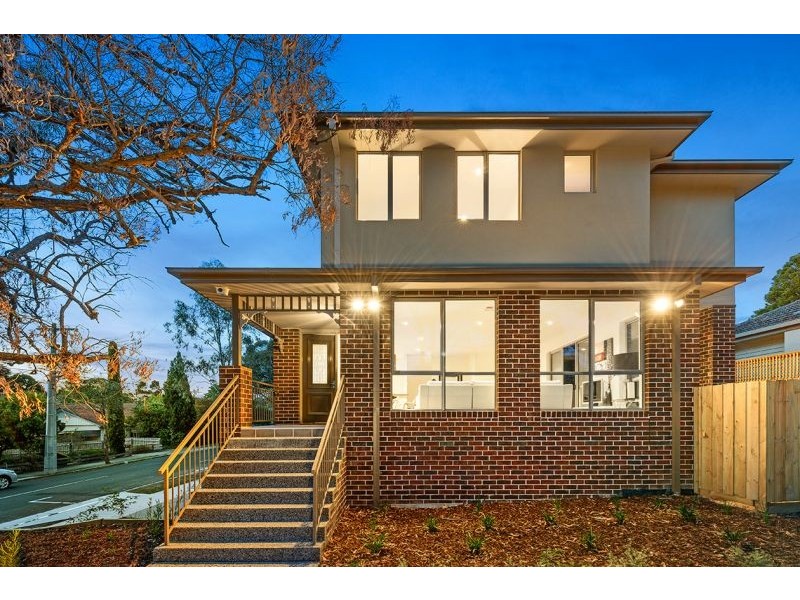
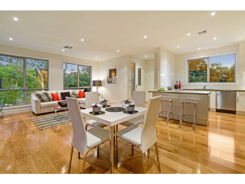
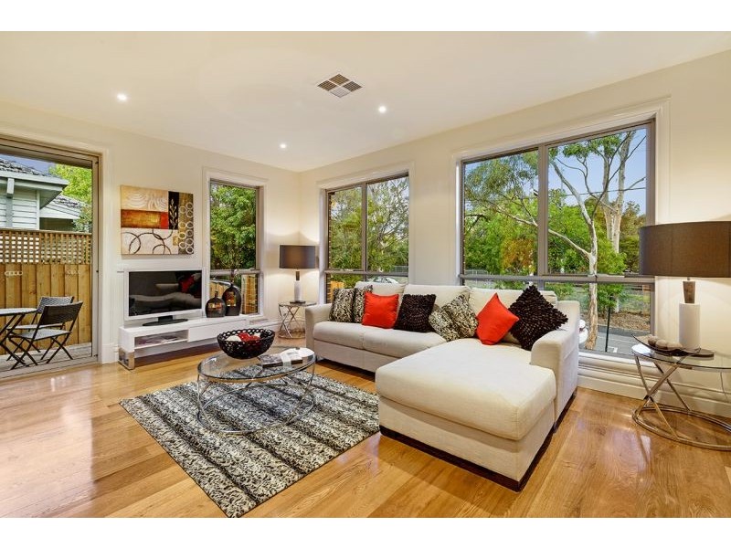
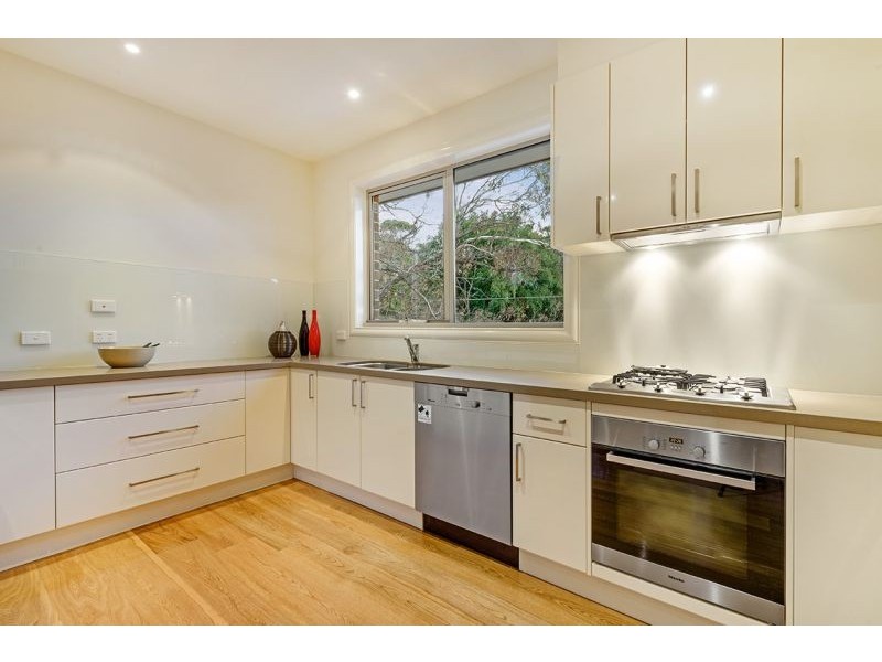
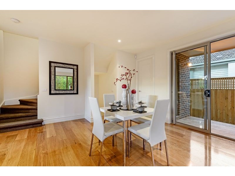
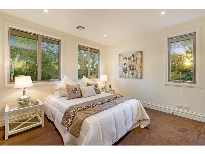
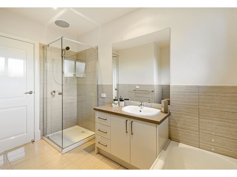
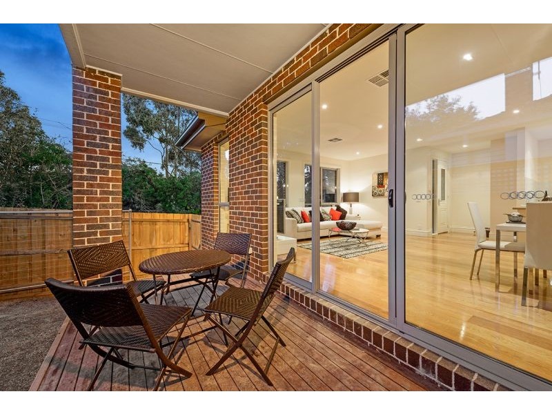
There are approximately 30,408 people living in Blackburn but… who are they?
40
48%
52%
Suburb Stats
$1387/WK
$323/WK
$497/WK
Value of property in Blackburn and nearby suburbs
Blackburn
Burwood
Caulfield North
Surrey Hills
Average Home Price$851,214Average Rental Price$396Household Size2.6
Average Home Price$813,670Average Rental Price$396Household Size2.6
Average Home Price$797,716Average Rental Price$431Household Size2.5
Average Home Price$1,310,219Average Rental Price$445Household Size2.7
Water Useper year per person
0.84mln. litres
State Average 0.75 mln. litres
Nat. Average 0.74 mln. litres
Greenhouse Pollutionper year per person
21.35tonnes
State Average 19.73 tonnes
Nat. Average 20.3 tonnes
Dwelling Types
90%
9%
0%
Most Common Suburb Professions
32% Professio…
15% Clerical…
14% Managers…
11% Technicia…
Nearby train station: blackburn railway station
Nearby schools: blackburn primary school, nunawading christian college primary campus, sweetland road early learning centre, st thomas the apostle primary school
Nearby cafes: ny bagels pty ltd, bean & baker, the pancake parlour
Nearby doctors: forest hill dental, dr sash kalian, bounce health group, blackburn family chiropractic
Nearby hospitals: australian skin cancer group, my body talk, access health, forest hill family health centre
Nearby cinemas: hoyts forest hill
Nearby pharmacies: priceline pharmacy forest hill, priceline pharmacy blackburn, blackburn north chemmart pharmacy, blackburn central pharmacy
Nearby parks: wembley park, bolton park, morton park, springfield park