Listing ID: 29348988
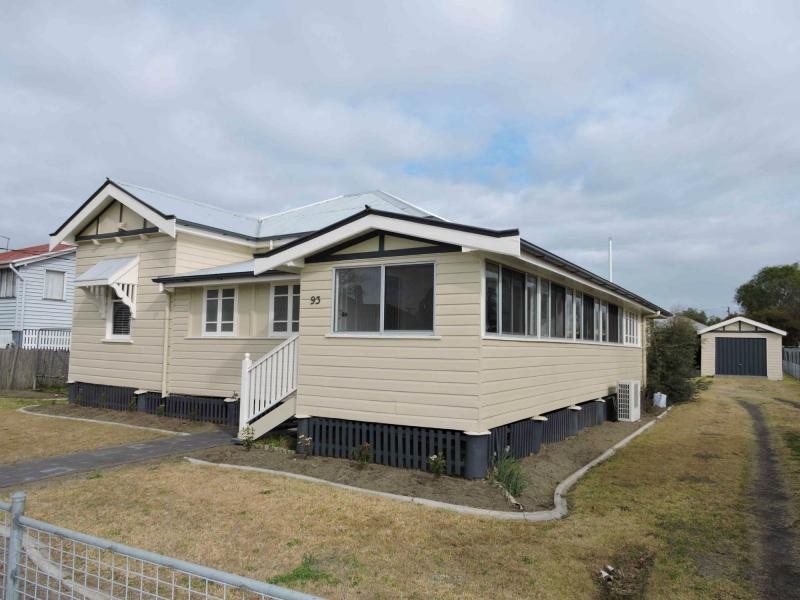
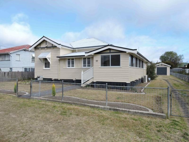
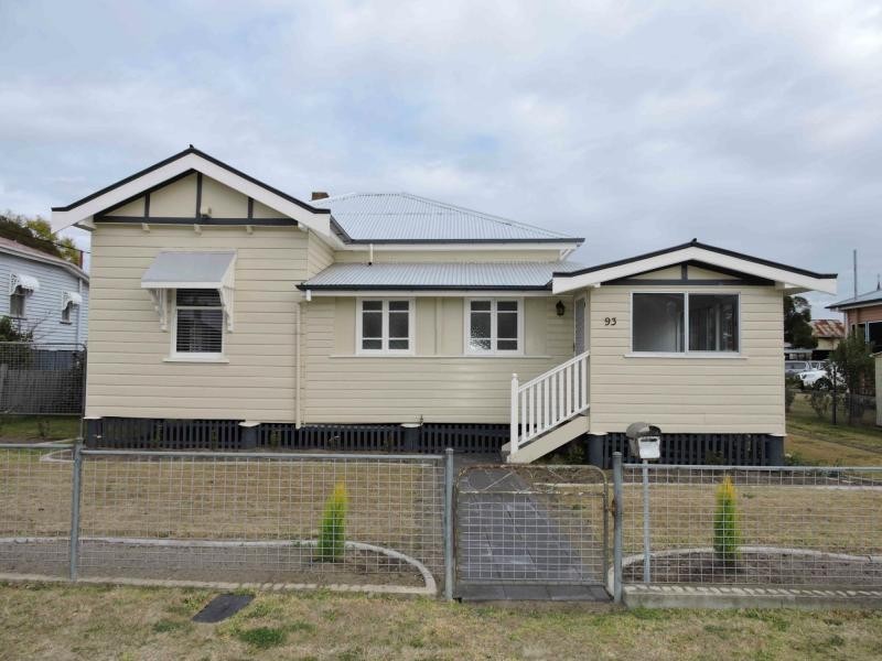
93 Albion Street, Warwick QLD 4370
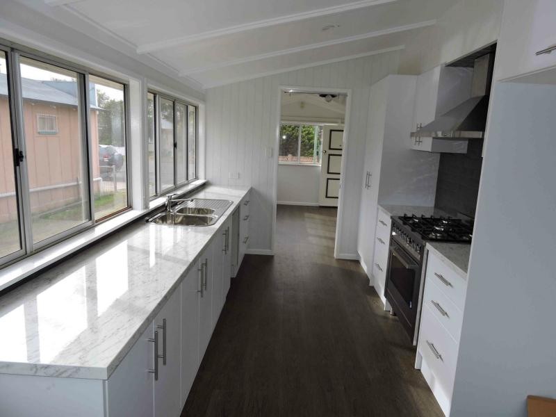
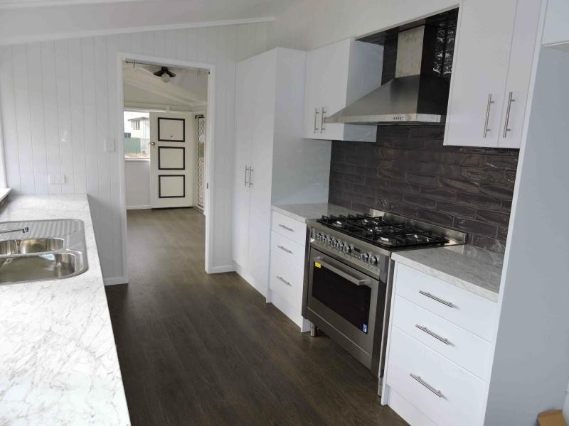
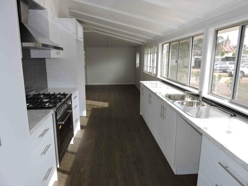
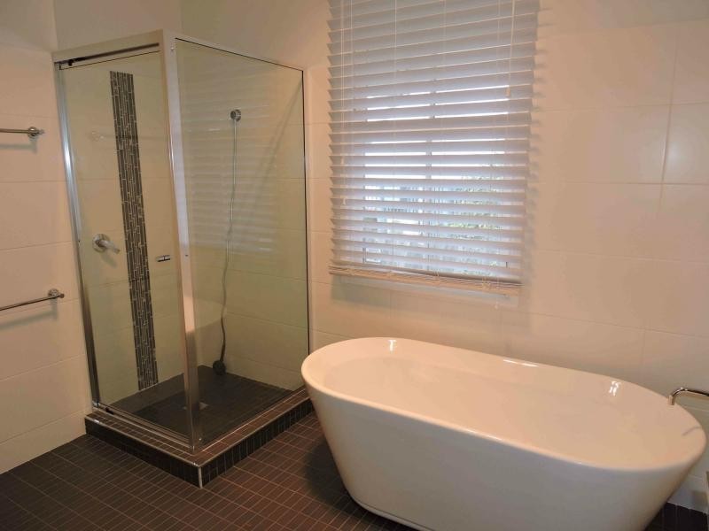
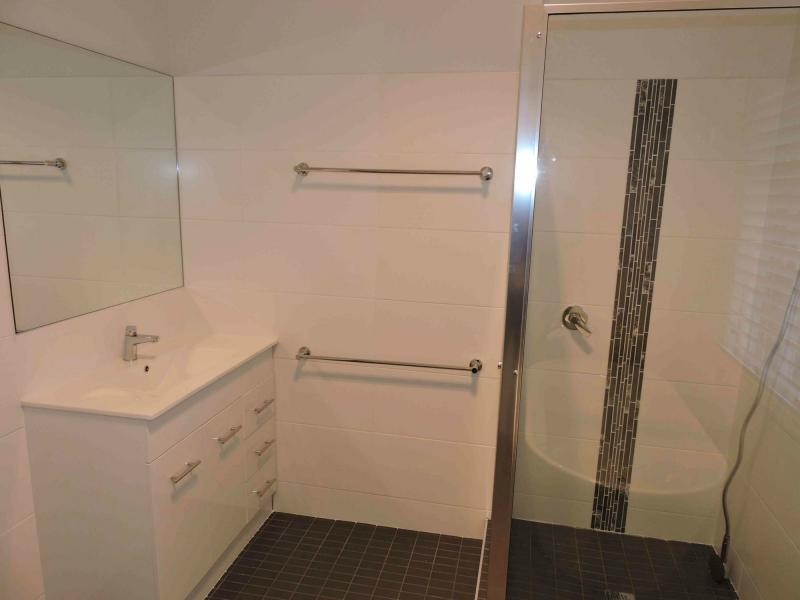
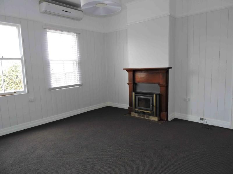
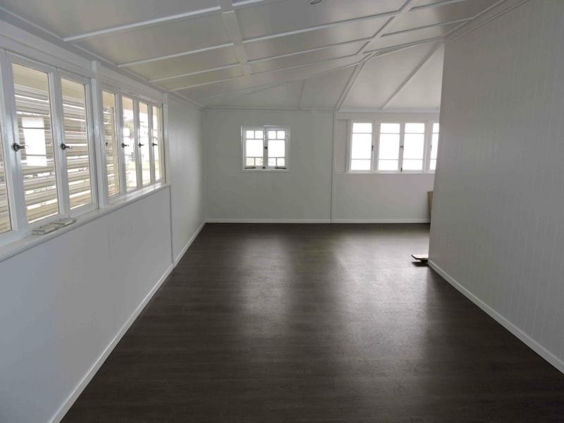
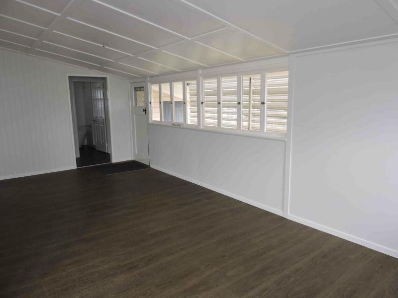
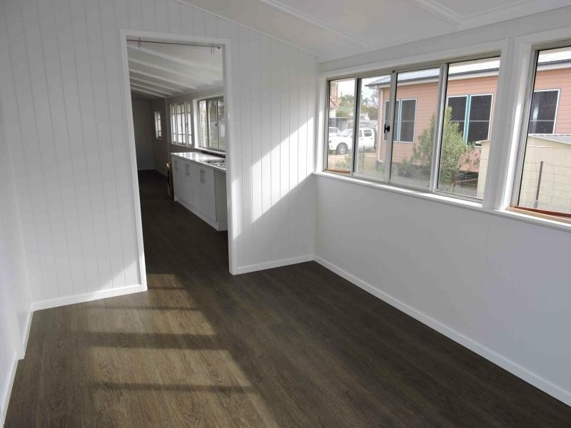
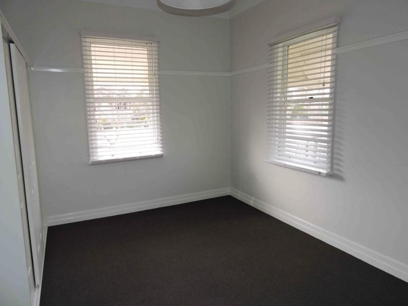
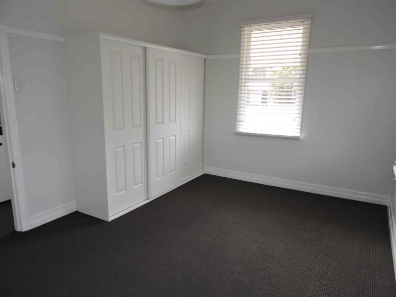
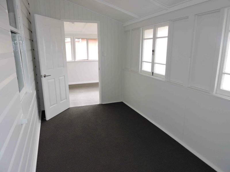
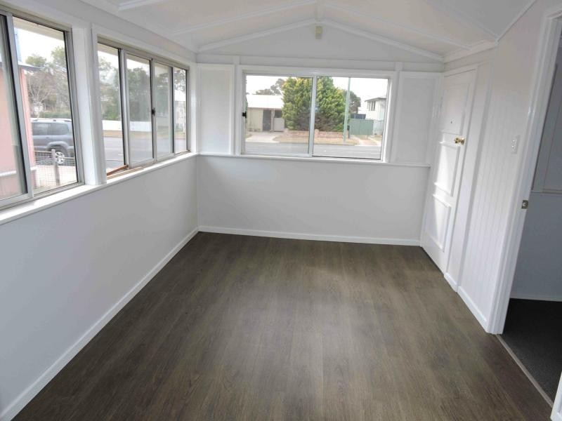
Just move straight in and enjoy
$295,000
- Listing history:
- 15 Jul, 2009
- 14 Aug, 2015
- 1 Dec, 2015

- 3
- 1
- 2
Just move straight in and enjoy


Listing ID: 29348988