Listing ID: 38195588
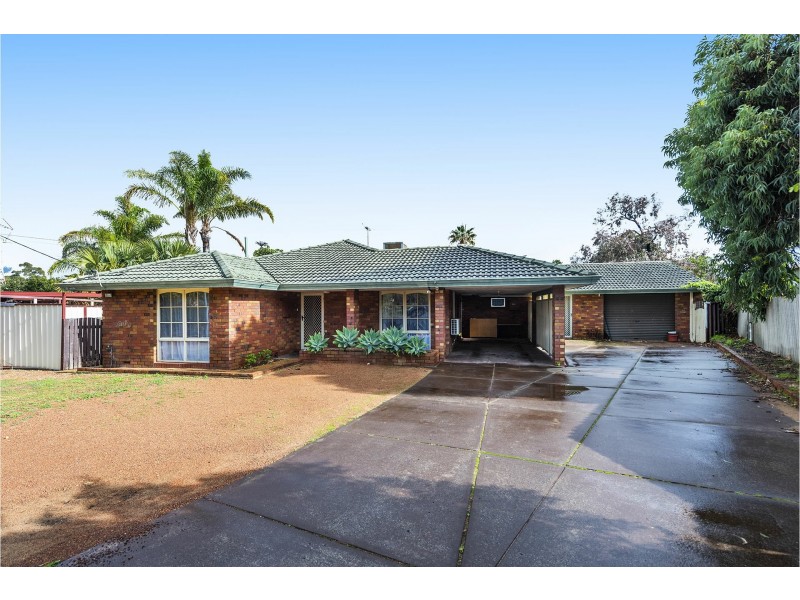
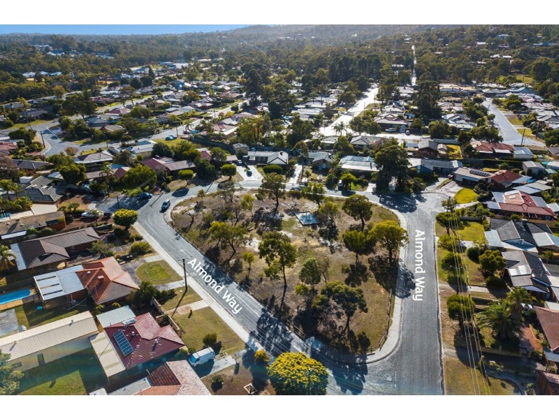
32 Almond Way, Forrestfield WA 6058
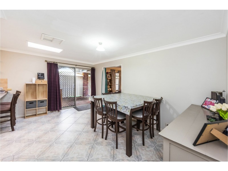
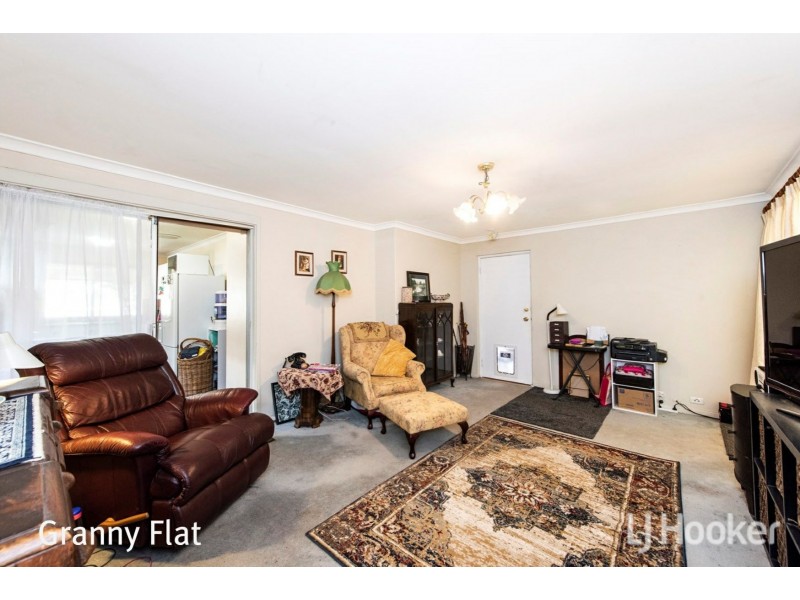
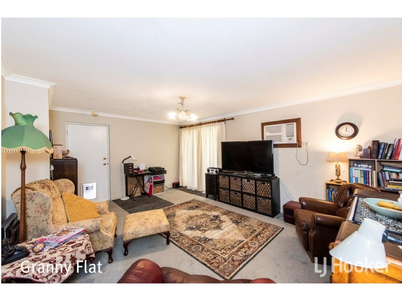
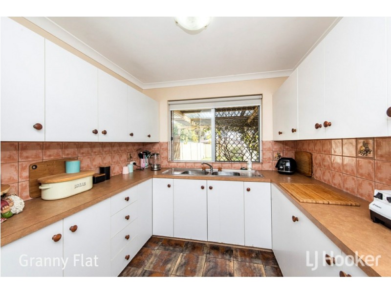
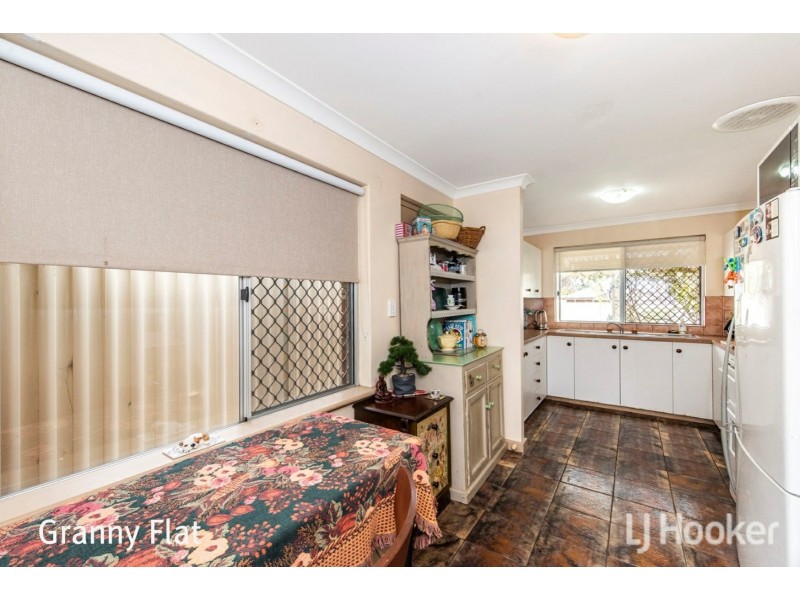
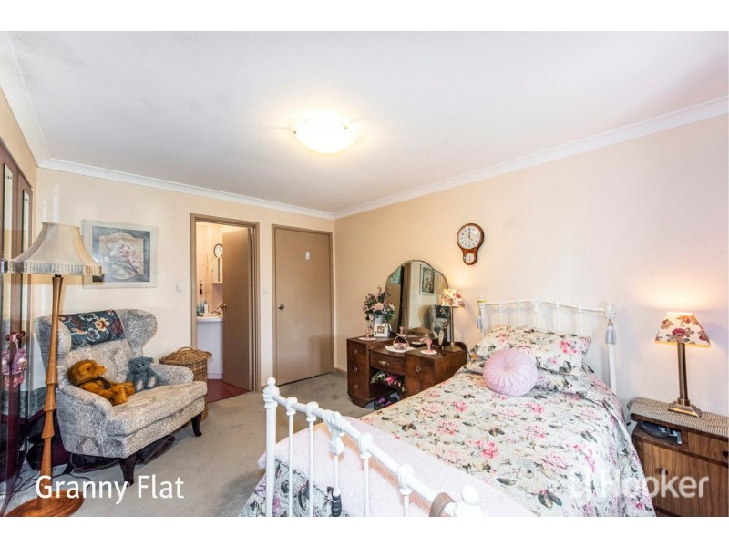
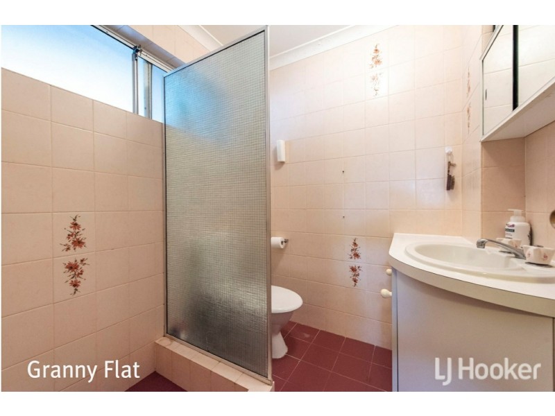
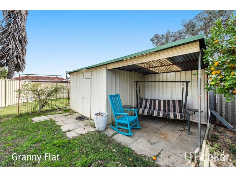
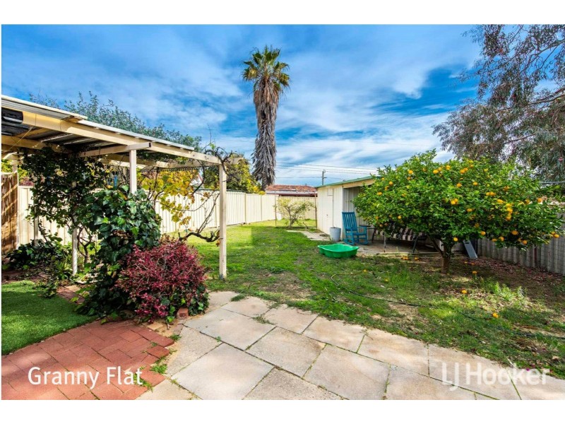
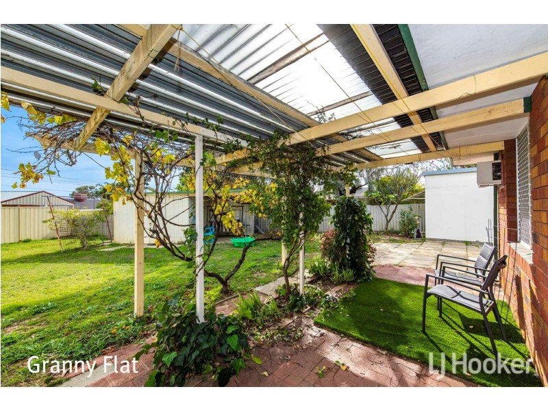
INVESTOR ALERT - APPROX 4.5% YIELD!
Offers From $369,000
- Listing history:
- 5 Sep, 2014
- 5 Dec, 2014
- 18 Jun, 2019

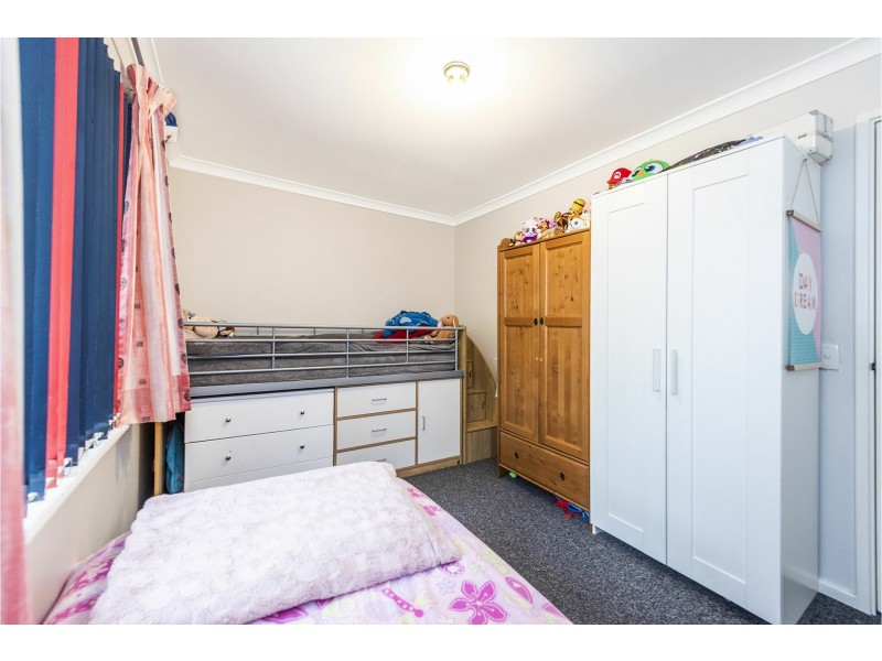
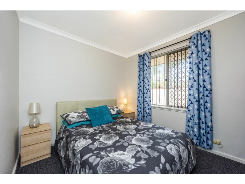
- 4
- 1
- 1
INVESTOR ALERT - APPROX 4.5% YIELD!


Listing ID: 38195588