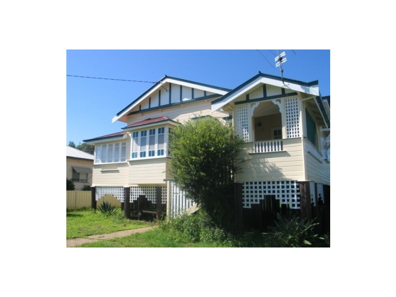
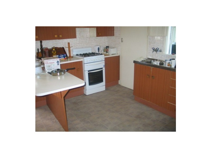
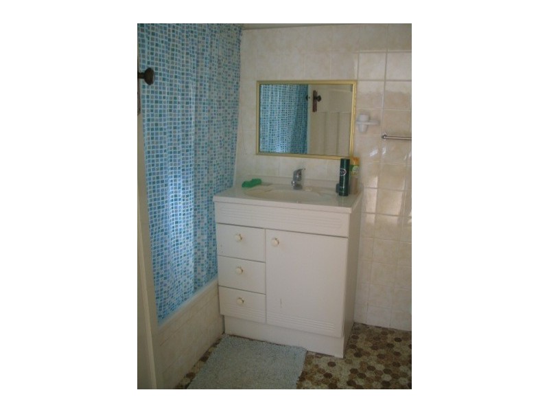
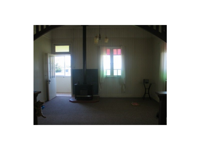
There are approximately 17,238 people living in Warwick but… who are they?
40
48%
52%
Suburb Stats
$884/WK
$215/WK
$325/WK
Value of property in Warwick and nearby suburbs
Warwick
Dalby
Clintonvale
Cedar Vale
Average Home Price$314,784Average Rental Price$252Household Size2.5
Average Home Price$293,879Average Rental Price$306Household Size2.7
Average Home Price$3,366,667Average Rental Price$333Household Size2.5
Average Home Price$473,627Average Rental Price$430Household Size2.8
Water Useper year per person
0.62mln. litres
State Average 0.68 mln. litres
Nat. Average 0.74 mln. litres
Greenhouse Pollutionper year per person
17.3tonnes
State Average 18.38 tonnes
Nat. Average 20.3 tonnes
Dwelling Types
91%
6%
2%
Most Common Suburb Professions
16% Labourers…
14% Technicia…
13% Managers…
12% Clerical…
Nearby shopping: rose city shopping world centre management, village shopping centre
Nearby schools: killarney school of dance, glennie heights preschool, warwick state high school, warwick christian college
Nearby cafes: brysons place, the cherry tree coffee & dining, char-belas restaurant
Nearby doctors: condamine medical centre-dr lynton hudson, condamine medical centre - dr evan ackermann, granite belt dental, condamine medical centre - dr louise clarke
Nearby hospitals: southern downs district health services, condamine medical centre
Nearby cinemas: warwick twin cinema
Nearby pharmacies: john duggan amcal chemist, warwick friendly society pharmacies, discount drug store, warwick friendly society pharmacy
Nearby police stations: warwick police station
Nearby parks: leslie park, hamilton oval, australiana park, kahlers oasis caravan park
Nearby restaurants: mango camping, mussel's restaurant, domino's pizza warwick, the cherry tree coffee & dining