Listing ID: 34773028
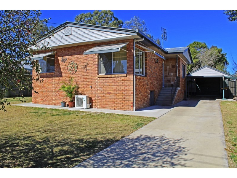
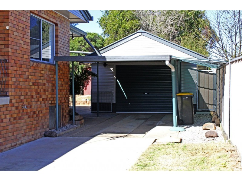
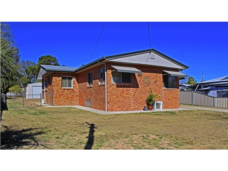
24 Evans Cres, Warwick QLD 4370
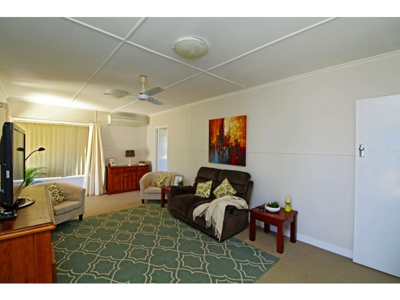
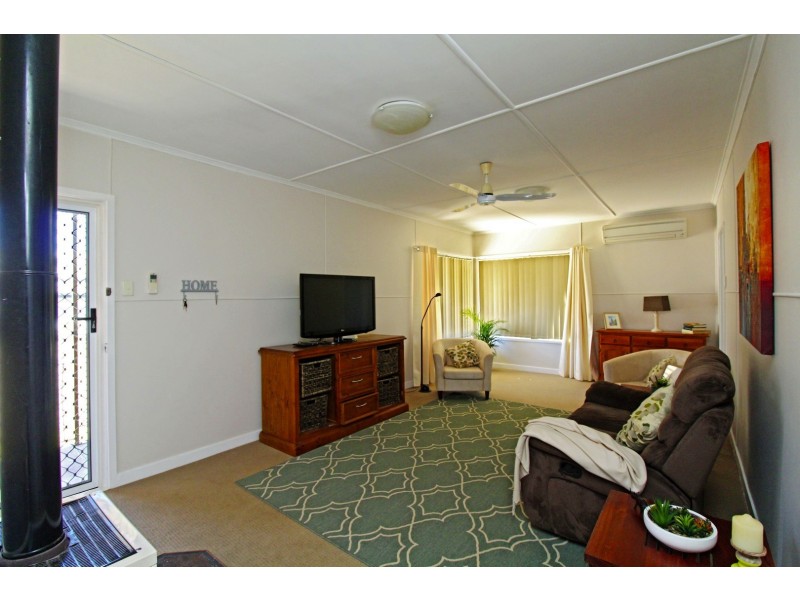
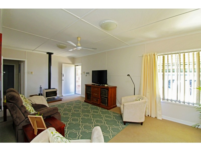
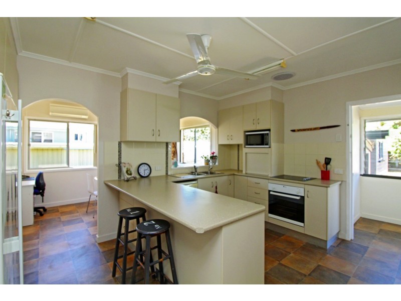
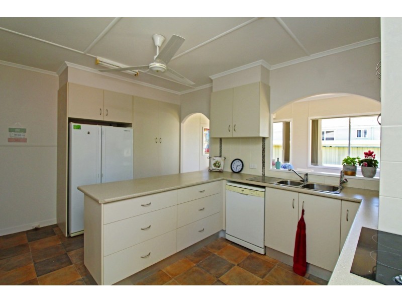
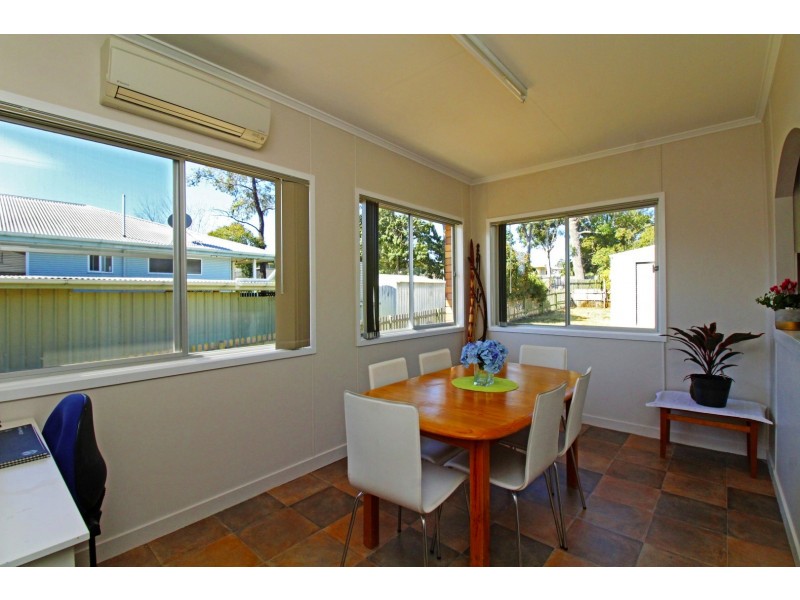
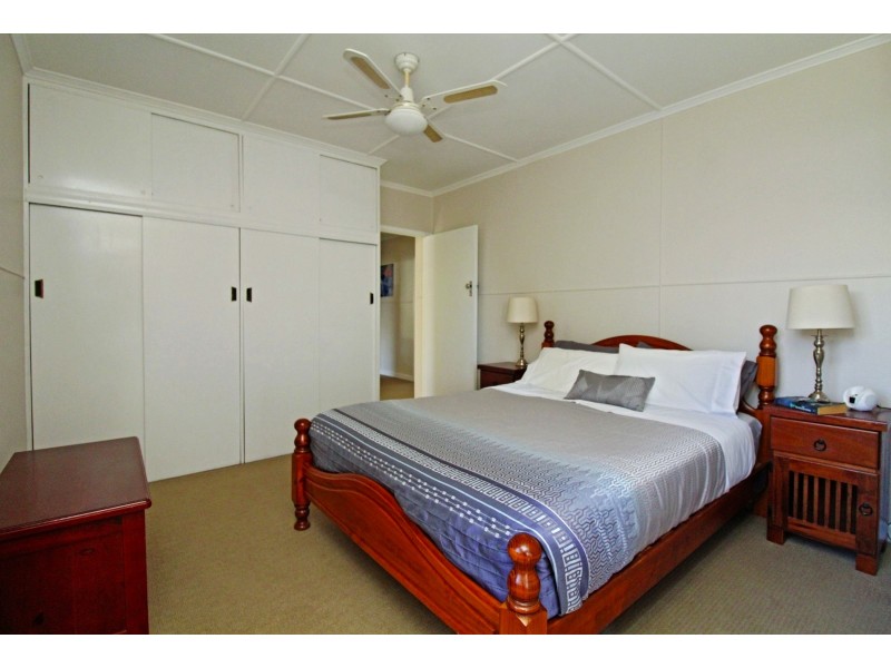
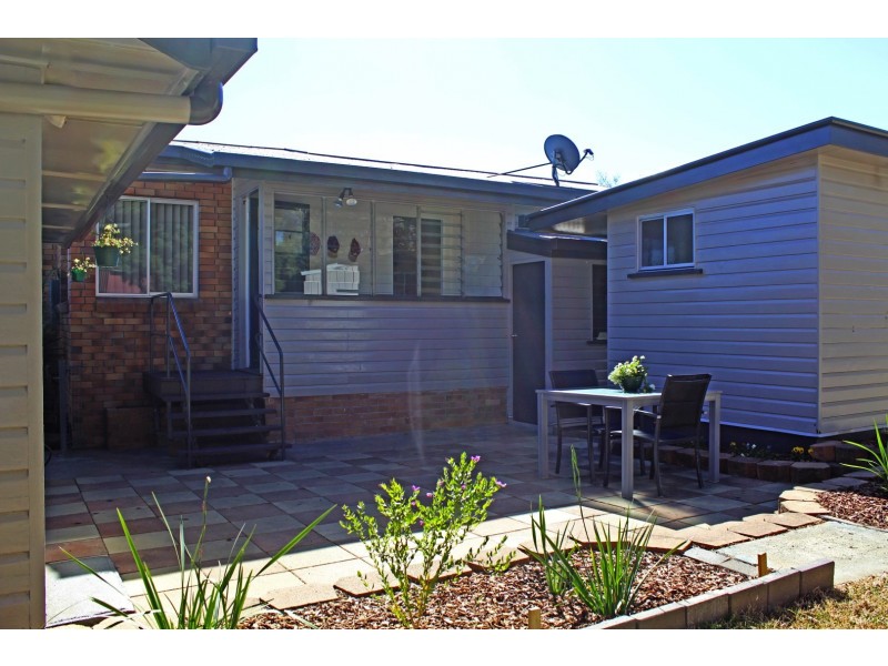
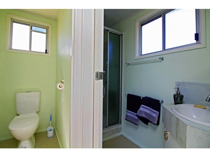
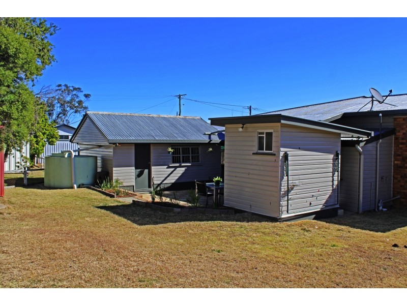
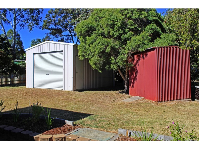
Exceptional Value - A Perfect Starter!
$268,000
- Listing history:
- 1 Aug, 2006
- 8 Sep, 2017

- 4
- 1
- 3
Exceptional Value - A Perfect Starter!


Listing ID: 34773028