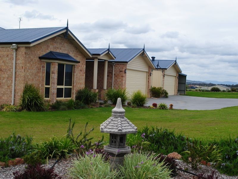
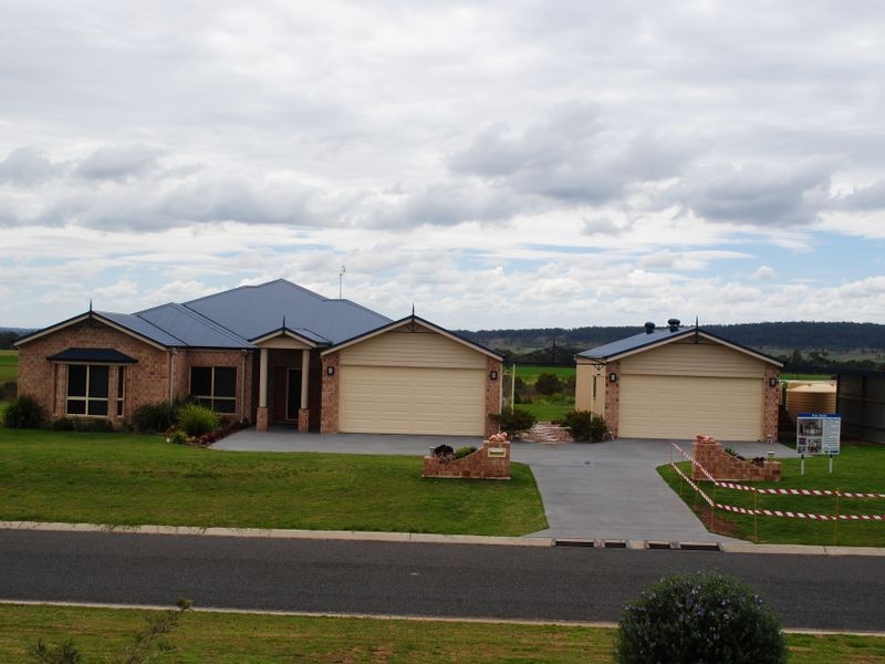
There are approximately 17,238 people living in Warwick but… who are they?
40
48%
52%
Suburb Stats
$884/WK
$215/WK
$325/WK
Value of property in Warwick and nearby suburbs
Warwick
Stanthorpe
Roma
Pilton
Average Home Price$314,784Average Rental Price$252Household Size2.5
Average Home Price$310,018Average Rental Price$251Household Size2.3
Average Home Price$369,082Average Rental Price$382Household Size2.6
Average Home Price$275,000Average Rental Price$0Household Size2.4
Water Useper year per person
0.62mln. litres
State Average 0.68 mln. litres
Nat. Average 0.74 mln. litres
Greenhouse Pollutionper year per person
17.3tonnes
State Average 18.38 tonnes
Nat. Average 20.3 tonnes
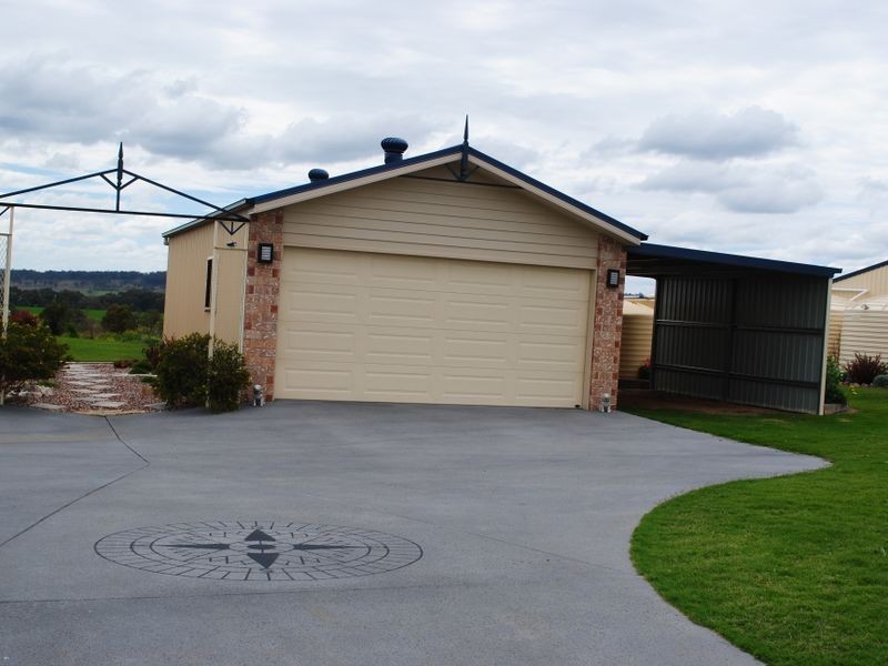
Dwelling Types
91%
6%
2%
Most Common Suburb Professions
16% Labourers…
14% Technicia…
13% Managers…
12% Clerical…
Nearby shopping: rose city shopping world centre management, village shopping centre
Nearby schools: warwick community kindergarten, warwick central school, a country garden early childhood centres, aikido aiki kai warwick - southern queensland
Nearby cafes: brysons place, the cherry tree coffee & dining, char-belas restaurant
Nearby doctors: dr toby cohen, condamine medical centre - dr louise clarke, southern downs dental, condamine medical centre - dr aleta slattery
Nearby hospitals: condamine medical centre, southern downs district health services
Nearby cinemas: warwick twin cinema
Nearby pharmacies: discount drug store, john duggan amcal chemist, warwick friendly society pharmacies, warwick friendly society pharmacy
Nearby police stations: warwick police station
Nearby parks: hamilton oval, leslie park, victoria park, kahlers oasis caravan park
Nearby restaurants: domino's pizza warwick, mango camping, shalimar indian restaurant, eagle boys pizza