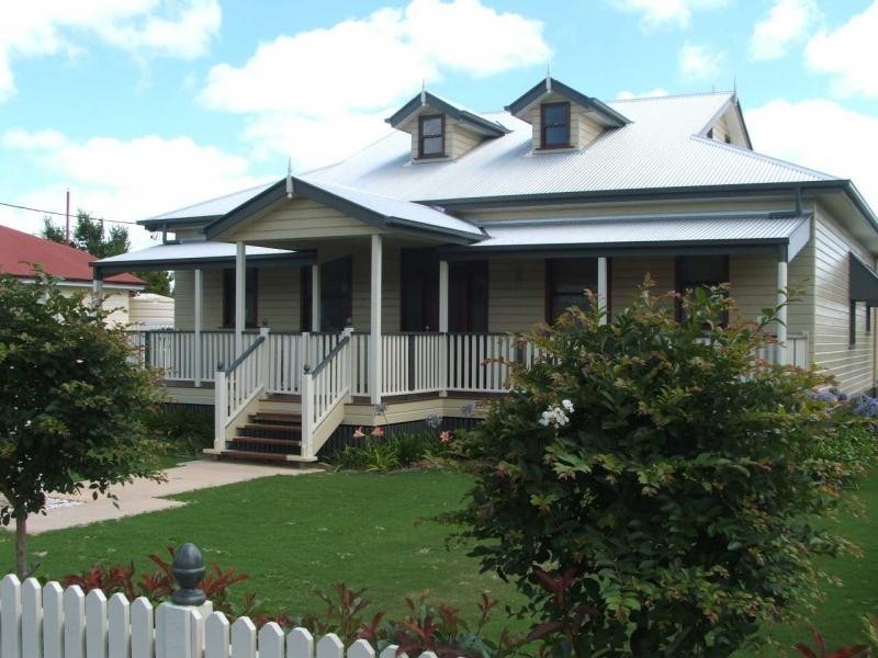
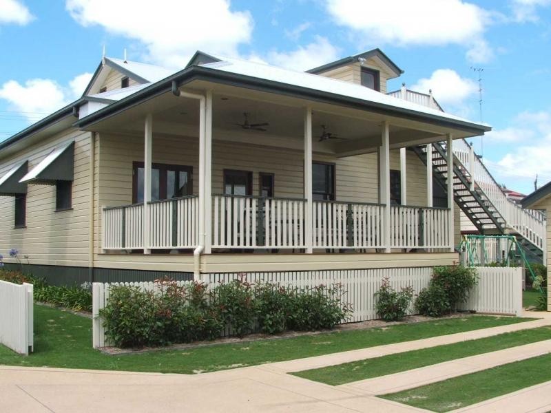
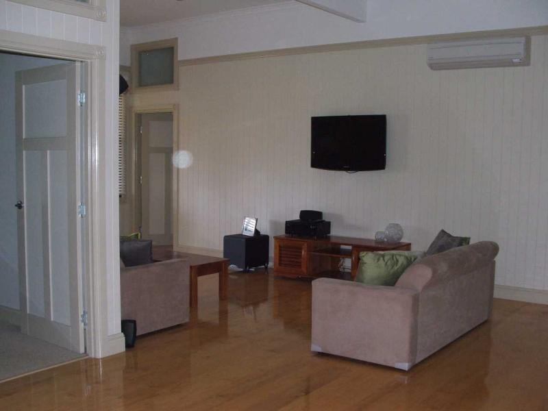
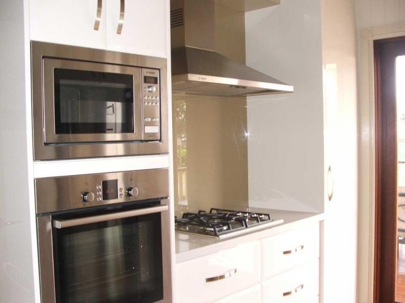
There are approximately 17,238 people living in Warwick but… who are they?
40
48%
52%
Suburb Stats
$884/WK
$215/WK
$325/WK
Value of property in Warwick and nearby suburbs
Warwick
Clintonvale
Stanthorpe
Booroobin
Average Home Price$314,784Average Rental Price$252Household Size2.5
Average Home Price$3,366,667Average Rental Price$333Household Size2.5
Average Home Price$310,018Average Rental Price$251Household Size2.3
Average Home Price$1,105,833Average Rental Price$335Household Size2.3
Water Useper year per person
0.62mln. litres
State Average 0.68 mln. litres
Nat. Average 0.74 mln. litres
Greenhouse Pollutionper year per person
17.3tonnes
State Average 18.38 tonnes
Nat. Average 20.3 tonnes
Dwelling Types
91%
6%
2%
Most Common Suburb Professions
16% Labourers…
14% Technicia…
13% Managers…
12% Clerical…
Nearby shopping: rose city shopping world centre management, village shopping centre
Nearby schools: warwick central school, a country garden early childhood centres, warwick community kindergarten, aikido aiki kai warwick - southern queensland
Nearby cafes: the cherry tree coffee & dining, char-belas restaurant, brysons place
Nearby doctors: southern downs dental, dr sam wong, condamine medical centre - dr aleta slattery, condamine medical centre - dr evan ackermann
Nearby hospitals: condamine medical centre, southern downs district health services
Nearby cinemas: warwick twin cinema
Nearby pharmacies: warwick friendly society pharmacies, john duggan amcal chemist, warwick friendly society pharmacy, discount drug store
Nearby police stations: warwick police station
Nearby parks: victoria park, hamilton oval, leslie park, australiana park
Nearby restaurants: palms on palmerin, brysons place, mussel's restaurant, the cherry tree coffee & dining