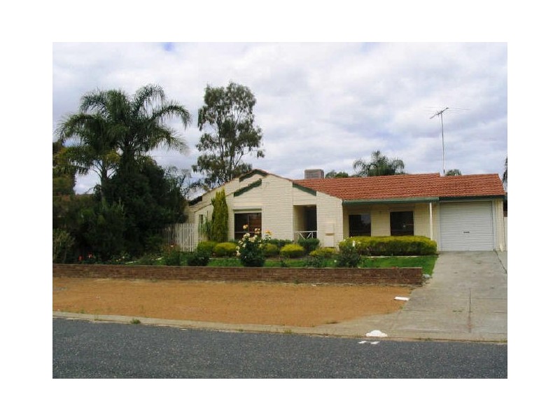
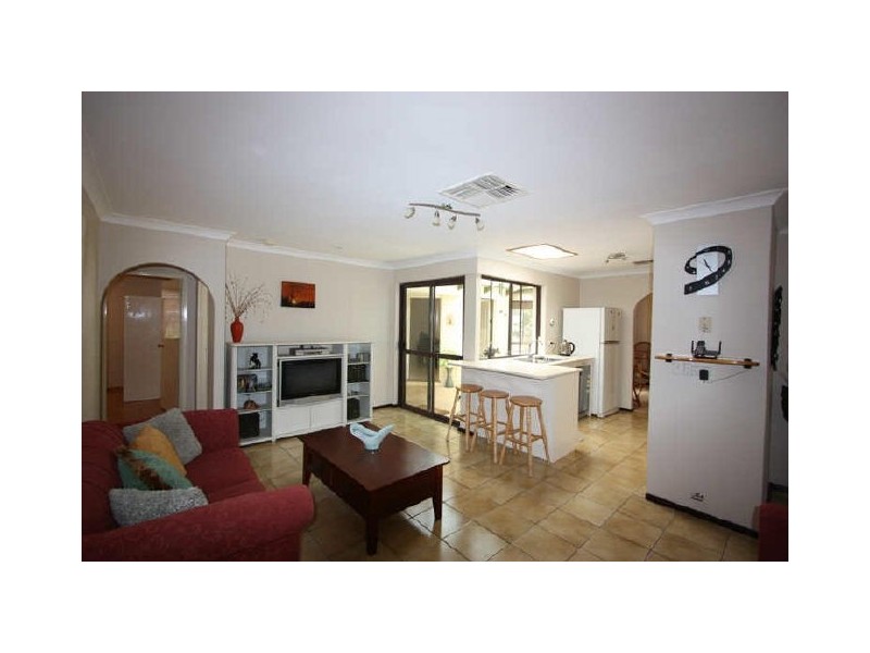
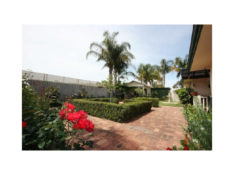
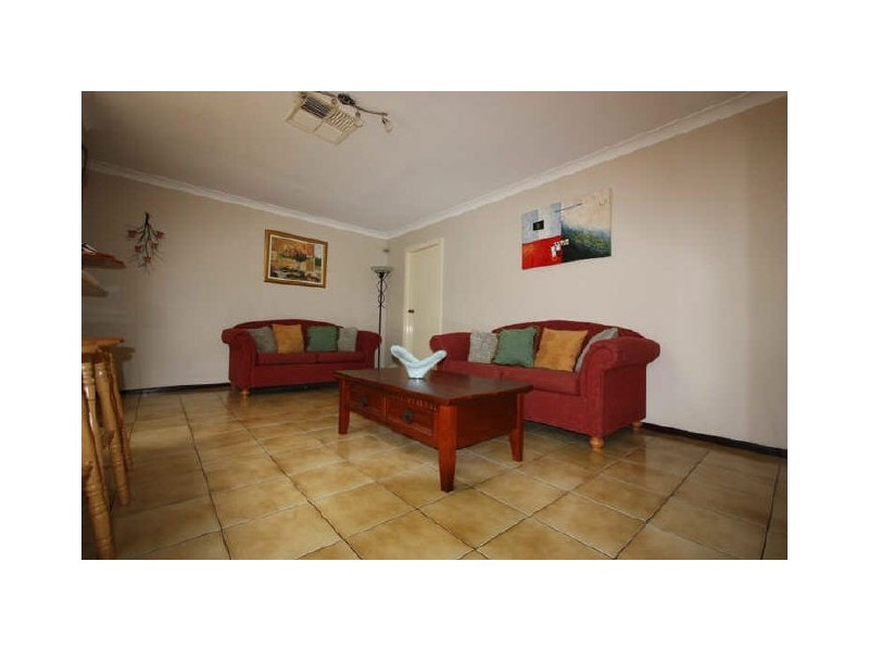
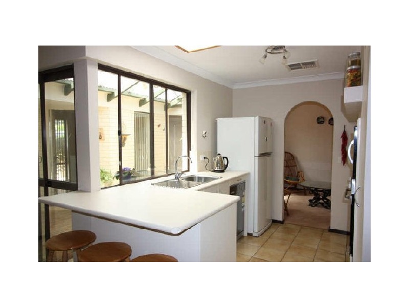
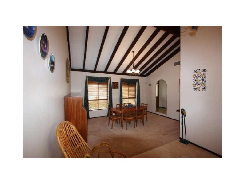
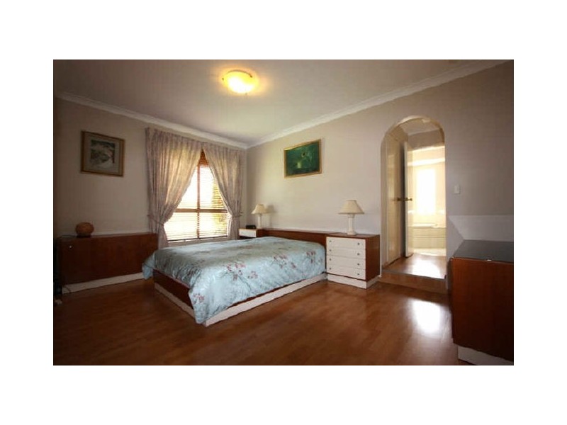
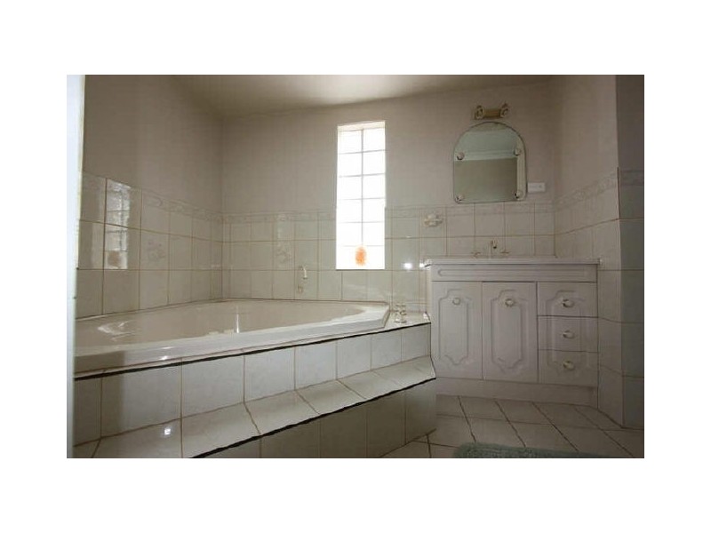
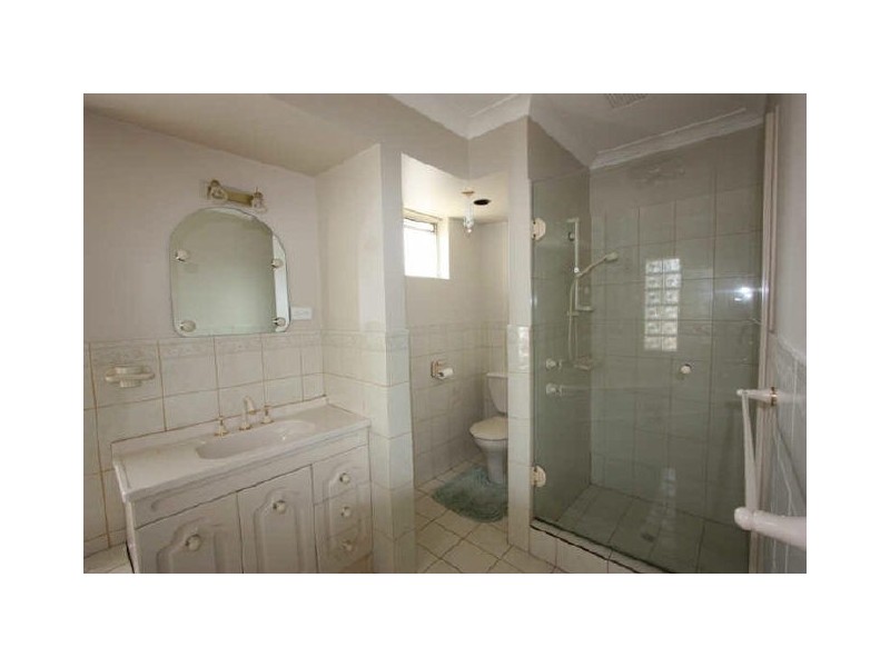
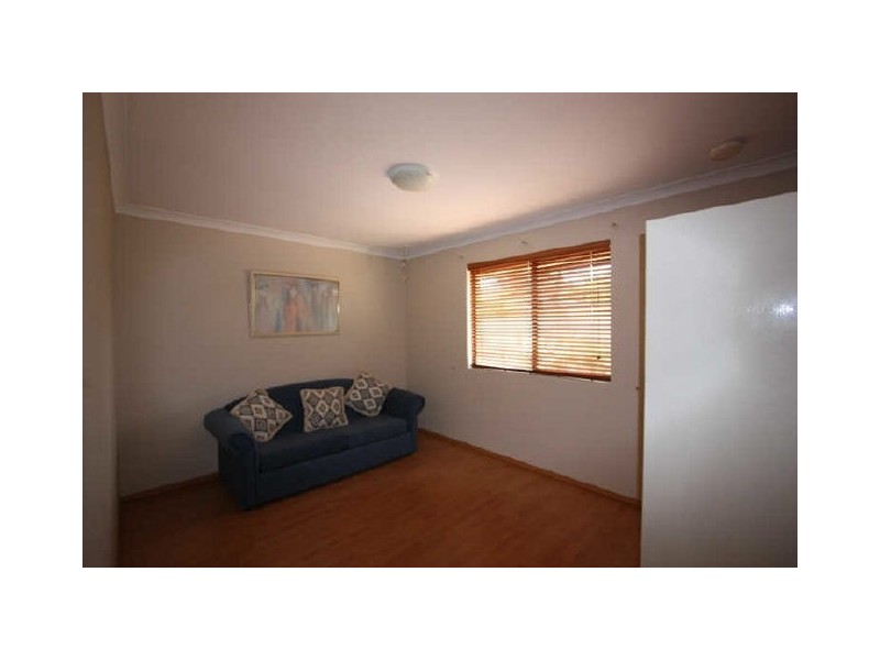
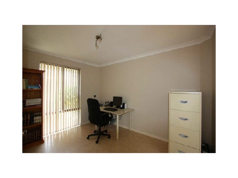
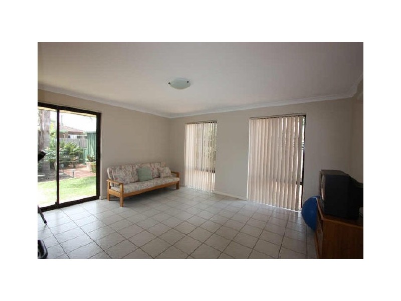
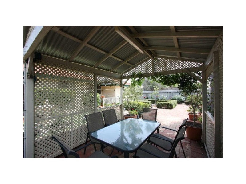
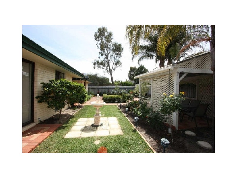
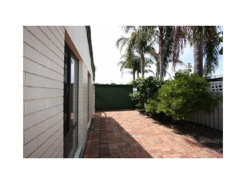
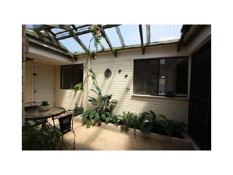
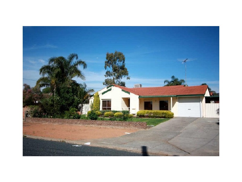
There are approximately 11,812 people living in Forrestfield but… who are they?
37
49%
51%
Suburb Stats
$1304/WK
$320/WK
$461/WK
Value of property in Forrestfield and nearby suburbs
Forrestfield
Kalamunda
Parkerville
Ridgewood
Average Home Price$442,380Average Rental Price$373Household Size2.5
Average Home Price$657,522Average Rental Price$417Household Size2.7
Average Home Price$646,769Average Rental Price$462Household Size2.9
Average Home Price$427,913Average Rental Price$381Household Size2.9
Water Useper year per person
0.73mln. litres
State Average 0.72 mln. litres
Nat. Average 0.74 mln. litres
Greenhouse Pollutionper year per person
17.7tonnes
State Average 18 tonnes
Nat. Average 20.3 tonnes
Dwelling Types
97%
1%
3%
Most Common Suburb Professions
19% Technicia…
18% Clerical…
13% Machinery…
11% Labourers…
Nearby shopping: forrestfield forum & marketplace
Nearby schools: hillside christian school, schools government, woodlupine primary school, heritage college
Nearby doctors: dentalcare of forrestfield, forrestfield dental clinic - dr. west russell t, dentalcare of forrestfield - dr hilton gregory c, foothills medical group - dr s. wignell
Nearby hospitals: mead medical group, forrestfield child health centre
Nearby police stations: forresfield police station
Nearby parks: discovery holiday parks - perth, cutting edge kerbs, connaught street reserve, dawson park
Nearby restaurants: commodore chinese restaurant & takeaway, the well caterers, red rooster waypoint, subway forrestfield